3D Virtual Tour
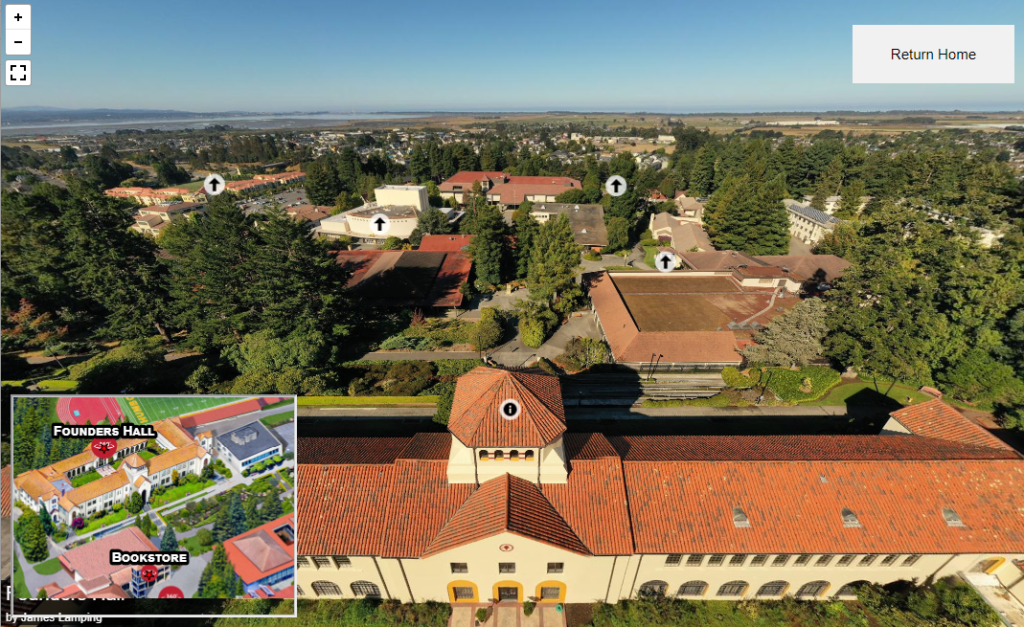
Visit Cal Poly Humboldt from the air using this map created by James Lamping, an Cal Poly Humboldt graduate who returned to complete his masters degree in forestry.
Cartography Tools
These tools allow you to create waterlines and polygon strokes in ArcGIS Pro.
Interactive Map of California Counties
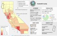
This interactive map was designed to easily and intuitively visualize a range of data pertaining to the state of California. Created using Leaflet™s JavaScript library, the map displays economic, demographic and land cover data for each county. Click on the ‘Data Sources’ tab to view the data being displayed, or click on the ‘Contact’ tab to contact us with any questions, suggestions or further inquiries.
Eel River
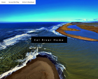
This website was created by Samantha Ureel and Whitney Newcomb for an advanced GIS course at Cal Poly Humboldt University in the fall semester of 2016. After managing large datasets regarding the Eel River for professor James Graham and graduate student Emily Cooper over the previous summer, Samantha and Whitney went on to create this informational website.
Cal Poly Humboldt Web Map
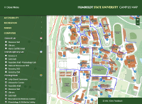
This version of the campus map was updated and completed by Jordan Adnir, Colby Peffer, and Joshua Rodriguez in Fall 2016 under the guidance and direction of Professor James Graham. Original design and development was by Jordan Adair, Dylan Hills, Monique Gil, and Aaron Taveras in Fall 2015. Please note that the map undergoes periodic updates as buildings and spaces on campus change.
Geospatial Utilities
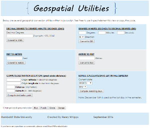
Henry Whipps created this utilities web page as an assignment for GSP 470. It is a great example of a single-page utility web site and is very handy to have around.
Shuster Photos

Map of the Shuster photos from 1940s and 50s by Brian McCaughey.